Route 03
Two miles of standing water and the only off lead ground in the index
The shortest route here and the one with the best ratio of shade to distance, which in the last week of May is the number that matters.
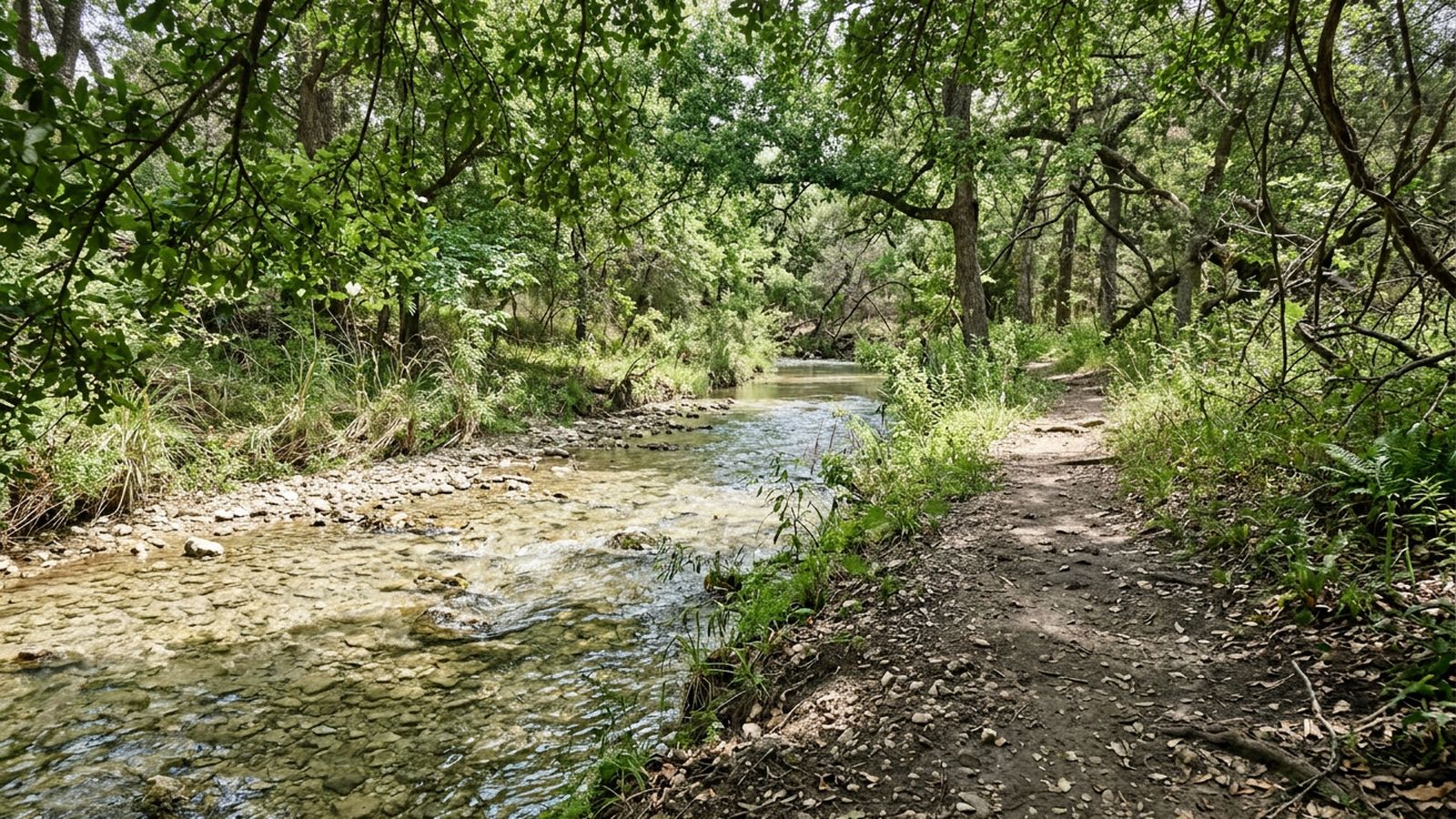
This creek comes off the hills on the northwest side and runs shallow over gravel for most of its length. In the stretch this record covers, it is nowhere deeper than a foot, the canopy closes overhead almost completely, and there is one section marked at both ends where dogs may be off lead.
That combination does not exist anywhere else in the index.
The walk
Two and two tenths of a mile, out and back, with three crossings on the way. An hour twenty at a slow pace with a great deal of standing about in water, on a May morning at eighty four degrees under full canopy.
The canopy is the whole point. Three quarters of this route is shaded at every hour of the day, not just in the morning, because it is not a canyon relying on a wall but a creek bottom under trees.
The water
Continuous and reachable along the entire route, which is the other thing this creek has and the river does not. There is no bank to climb down: the path runs level with the water and crosses it three times on gravel.
Two consequences worth stating. Shallow water under a canopy stays cool longer than shallow water in the open, which is good. Shallow water in a dry August stops moving altogether, which is not, and by then the pools warm through by midday.
The off lead section
Marked at both ends, in the lower half, between the first and second crossings. Roughly a third of a mile.
The section works, and it fills. On a Saturday morning there were eleven dogs in it, arriving from both crossings, which means new dogs appear from two directions with no warning and no room to circle. A dog who needs to see another one coming from a distance will not get that here.
Off lead ground where everybody enters through the same two gaps is sociable rather than spacious. If your animal wants space, use the upper half, where a lead is required and there is nobody at all.
The root climb
At the upper end the path leaves the creek and climbs about twelve feet over exposed limestone and root. It is a scramble, not a path. A fit dog does it without noticing; anything with stiff hips does not do it at all.
This record turns around at the bottom of it, and the distance above reflects that. Going up adds about half a mile and a great deal of decision making.
The signs
Two kinds, both transcribed. The lower section carries signs at each end permitting off lead. Everywhere else, including the whole upper half, carries the standard sign requiring a lead. What the signs mean in law is not this journal's subject; what they say is above.
Why it is the shortest route here
Because at two miles under this much canopy it is the only route in the index that is still honestly walkable in the last week of August, at dawn, with water the whole way. Short and possible beats long and theoretical.
Before you go
- Walked
- 17 May 2026
- Distance
- 2.2 miles
- Shade
- three quarters, all day
- Water
- shallow and continuous, reachable throughout
- Surface
- packed dirt, gravel bar and one root climb
- Signed
- off lead permitted in the marked lower section
- Best hours
- good until noon in May, dawn only in August
The one section signed for off lead sits between two crossings, and dogs arrive at it from both directions at once. The root climb at the upper end is a genuine scramble of about twelve feet. Water is shallow enough to stand in everywhere, which also means it is warm by afternoon and stops moving in a dry year.